Sunday, October 28, 2012
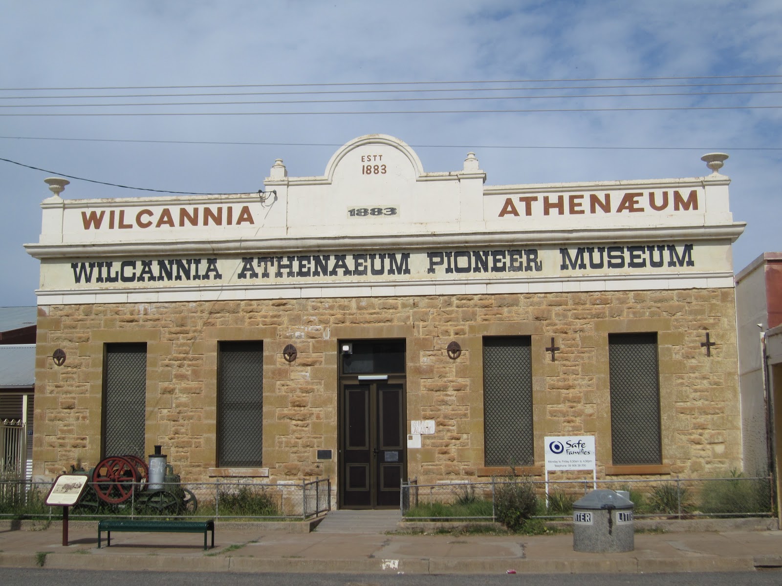
Wilcannia is the town at the junction of Barrier Highway and Opal Miner's Way leading to White Cliffs.
I only stopped for a few minutes on the basis that there were some nice buildings, but had heard it wasn't an ideal place to hang around.
Yes, the old post office building in particular was nice and for the most part I felt fine, albeit a bit deserted and not in a good way.
The pivotal moment was when I heard someone as I took photos of a damaged church. I turned around and there was no-one there. I continue to look at the building and then hear more audibly, "What are you doing, ey? What are you doing?"
I swear it was an old lady with a drawl. But I looked all around and no-one. No-one on their porch, or even in the backyards (there were low fences). I quick-footed it to the car, took one more photo on the main road and left. Freaky stuff.



Tuesday, October 23, 2012
I embarked on a two-week road trip in the second half of September, the major purpose being for a trip home to Adelaide to attend my friend's wedding.
I dubbed it my On the road to nowhere trip because on the map, it's literally an (anti-clockwise) loop - leading me to no definite location.

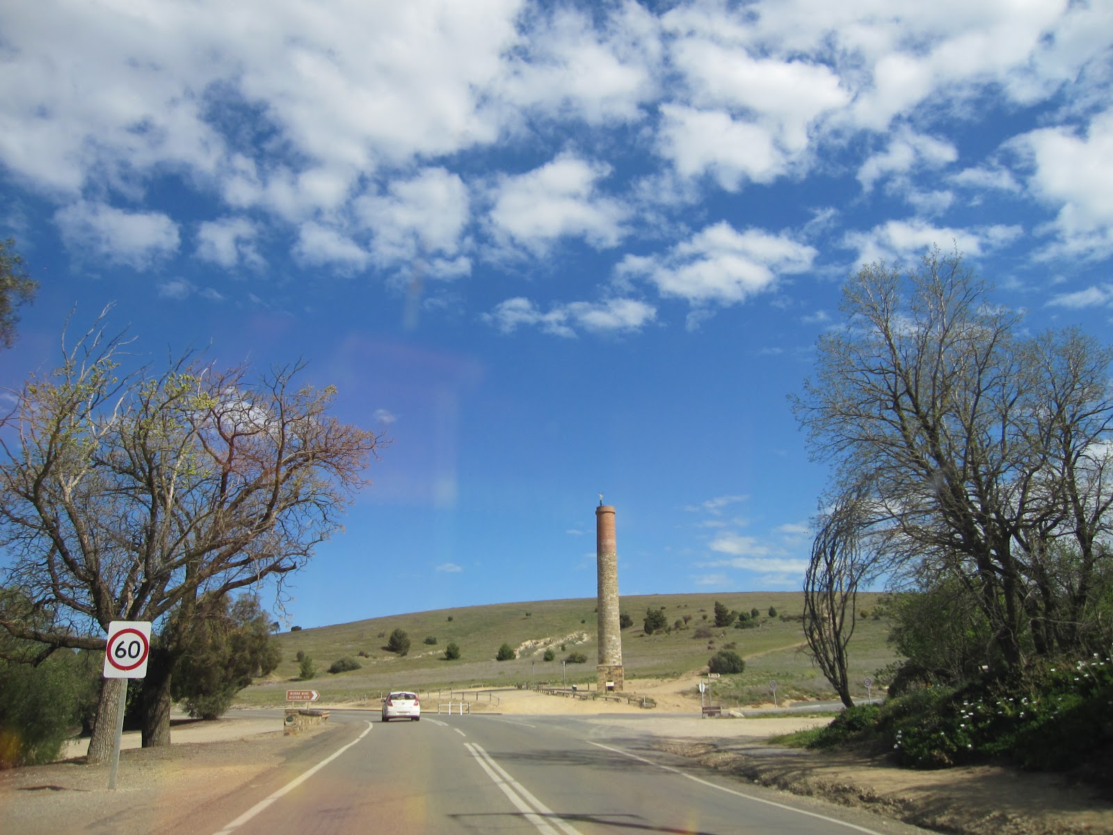
Let's paint a picture. From Nyngan (2 hours from Dubbo) to Giles Corner (about 1 hour 15 mins north of Adelaide), the Barrier Highway is the major thoroughfare. It's mostly quite flat, but with a decade of drought behind it now looks fairly green. Plenty of Paterson's Curse lines the road's edge, and with blue skies manages to be picture perfect. On this trip, I of course did the entire highway route.
Before getting into the locations in detail, here's a photo essay of how the first half of my road trip looked purely along the Barrier Highway.




 Posts
Posts


